
The short answer
This is Part 2 of a two-part Trans-Canada plan: Winnipeg to Halifax in 12 days, about 3,680 km. Start in Winnipeg or start in Halifax. The overnight stops are the same either way.
Distances are approximate. Confirm them in a route planner, and check road conditions each morning. Long stretches of northern Ontario have a single highway, and a closure can mean a very long detour.
Choose your direction
Winnipeg to Halifax: 12 days, about 3,680 km
Starting from Winnipeg, you reach Lake Superior on about day 3 and 4, and the Quebec tunnels around day 7 and 8. Days 2, 4, and 5 are the longest, so start early. Add a rest day in Thunder Bay, Ottawa, or Québec City if you can.
| Day | Route | Approx. km | Overnight idea | Notes |
|---|---|---|---|---|
| 1 | Winnipeg to Kenora | 210 | Kenora area, on Lake of the Woods | Notes |
| 2 | Kenora to Thunder Bay | 490 | Thunder Bay area, including Kakabeka Falls Provincial Park | Notes |
| 3 | Thunder Bay to Marathon | 290 | Marathon or Terrace Bay | Notes |
| 4 | Marathon to Sault Ste. Marie | 410 | Sault Ste. Marie area, including Pancake Bay Provincial Park | Notes |
| 5 | Sault Ste. Marie to North Bay | 420 | North Bay area | Notes |
| 6 | North Bay to Ottawa | 360 | Ottawa area (most campgrounds are outside the core) | Notes |
| 7 | Ottawa to Montréal | 200 | Montréal area campground (check the tunnel rules) | Notes |
| 8 | Montréal to Québec City | 260 | Québec City or Lévis area | Notes |
| 9 | Québec City to Rivière-du-Loup | 200 | Rivière-du-Loup area | Notes |
| 10 | Rivière-du-Loup to Fredericton | 390 | Fredericton area | Notes |
| 11 | Fredericton to Moncton | 180 | Moncton area | Notes |
| 12 | Moncton to Halifax | 270 | Halifax area campground or RV park | Notes |
| Total, 12 days | about 3,680 km | |||
Halifax to Winnipeg: 12 days, about 3,680 km
Starting from Halifax, you reach Québec City and Montréal, and their tunnels, on days 4 to 6, and Lake Superior on days 8 to 10. Days 3, 8, 9, and 11 are the longest, so start early. Add a rest day in Québec City, Ottawa, or Thunder Bay if you can.
| Day | Route | Approx. km | Overnight idea | Notes |
|---|---|---|---|---|
| 1 | Halifax to Moncton | 270 | Moncton area | Notes |
| 2 | Moncton to Fredericton | 180 | Fredericton area | Notes |
| 3 | Fredericton to Rivière-du-Loup | 390 | Rivière-du-Loup area | Notes |
| 4 | Rivière-du-Loup to Québec City | 200 | Québec City or Lévis area | Notes |
| 5 | Québec City to Montréal | 260 | Montréal area campground (check the tunnel rules) | Notes |
| 6 | Montréal to Ottawa | 200 | Ottawa area (most campgrounds are outside the core) | Notes |
| 7 | Ottawa to North Bay | 360 | North Bay area | Notes |
| 8 | North Bay to Sault Ste. Marie | 420 | Sault Ste. Marie area, including Pancake Bay Provincial Park | Notes |
| 9 | Sault Ste. Marie to Marathon | 410 | Marathon or Terrace Bay | Notes |
| 10 | Marathon to Thunder Bay | 290 | Thunder Bay area, including Kakabeka Falls Provincial Park | Notes |
| 11 | Thunder Bay to Kenora | 490 | Kenora area, on Lake of the Woods | Notes |
| 12 | Kenora to Winnipeg | 210 | Winnipeg area campground or RV park | Notes |
| Total, 12 days | about 3,680 km | |||
Use the "Notes" links in the table to jump to details for each stretch.
Notes for each stretch
These are listed west to east. The table above shows which day each stretch falls on in your direction.
Winnipeg and Kenora (about 210 km)
An easy first day on Highway 1 that crosses the Manitoba and Ontario border and takes you past the lakes of Whiteshell Provincial Park on the Manitoba side. Kenora sits on Lake of the Woods and is a good place to stock up before northwestern Ontario.
Kenora and Thunder Bay (about 490 km)
A long day on Highway 17 through lakes and forest, with services spread out, so fill up when you can. The time zone changes somewhere between Kenora and Thunder Bay. Kakabeka Falls, just west of Thunder Bay, is an easy stop to break the day.
Thunder Bay and Marathon (about 290 km)
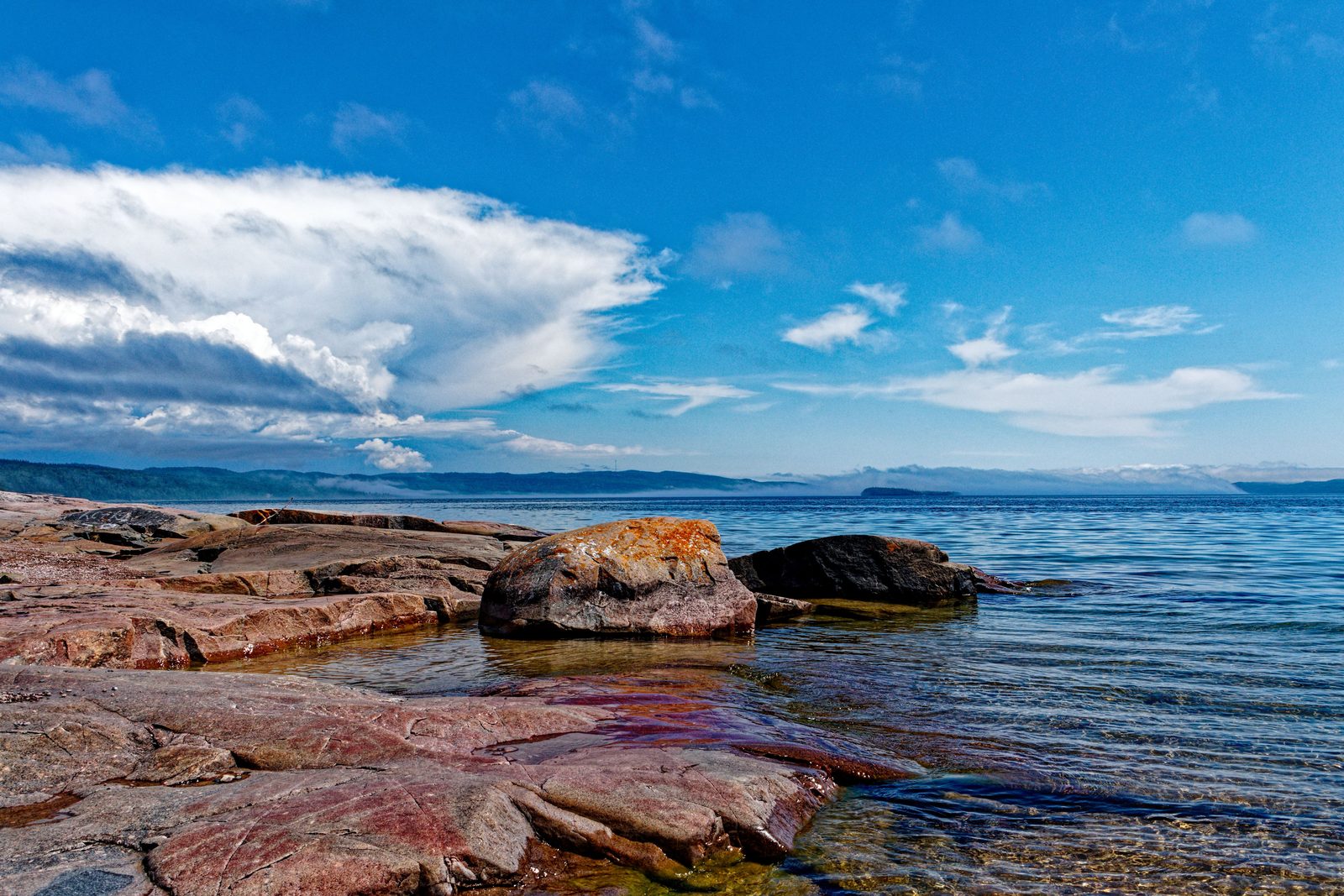
The highway now follows the north shore of Lake Superior, mostly two lanes through rugged country, with Nipigon, Terrace Bay, and Aguasabon Falls along the way. Sleeping Giant Provincial Park is a worthwhile detour if you have an extra day. Fuel and food are sparse, so fill up in the larger towns, and watch for wildlife, especially at dawn and dusk.
Marathon and Sault Ste. Marie (about 410 km)
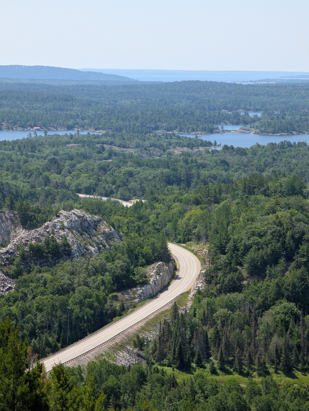
The most spectacular stretch, and a long day. Highlights include White River, Wawa and its famous goose, Lake Superior Provincial Park (Agawa Bay and Old Woman Bay), and the beaches at Pancake Bay. Fuel stops are far apart, so fill up in Marathon and Wawa. If you want to split it, overnight in or near Lake Superior Provincial Park and finish in Sault Ste. Marie the next day.
Sault Ste. Marie and North Bay (about 420 km)
Highway 17 runs along the North Channel of Lake Huron, then through Sudbury, and on to North Bay. It is mostly straightforward, with more services than the Superior shore. Good day for a full restock.
North Bay and Ottawa (about 360 km)
The route follows the Ottawa Valley through Mattawa and Pembroke, then into the capital. Campgrounds are mostly on the edge of Ottawa, and you will want to book ahead for July and August. A rest day here is easy to fill with the city's sights.
Ottawa and Montréal (about 200 km)
A short run into Quebec, where signs are in French and distances and speeds are in kilometres, as everywhere in Canada. Watch your propane. Several Montréal tunnels restrict RVs carrying more than two propane cylinders, counting a built-in tank, and RVs with open-flame equipment such as a pilot light. Plan a route around them, or check the rules in the tunnel section below.
Montréal and Québec City (about 260 km)
A quick run along the St. Lawrence on the autoroutes. The Joseph-Samson bridge-tunnel in Québec City has the same propane restrictions as the Montréal tunnels, so check your route around the city. Lévis, across the river, is a common base for campgrounds.
Québec City and Rivière-du-Loup (about 200 km)
Autoroute 20 follows the south shore of the St. Lawrence. Rivière-du-Loup is the gateway to the Gaspé Peninsula and is known for its waterfalls. A gentle day, and a chance to slow down before the long run to New Brunswick.
Rivière-du-Loup and Fredericton (about 390 km)
Autoroute 20, then Autoroute 85 (formerly Route 185) south to the New Brunswick border, then Route 2, a four-lane highway through Edmundston to Fredericton. Clocks move ahead one hour into Atlantic time when you cross into New Brunswick. Construction delays have been reported on the Autoroute 85 upgrades, so check conditions.
Fredericton and Moncton (about 180 km)
A short, easy day on Route 2. Detours to Fundy National Park and the Hopewell Rocks, known for the Bay of Fundy's tides, are popular if you have extra time.
Moncton and Halifax (about 270 km)
Route 2 joins Highway 104 at the Nova Scotia line, then Highway 102 into Halifax. Out-of-province vehicles may pay a small toll on the Cobequid Pass section of Highway 104, so have a card ready and check the current policy. From Halifax, Cape Breton and the Cabot Trail are about a four-hour drive away.
Quebec tunnels and propane
Quebec's transport ministry restricts certain tunnels: Louis-Hippolyte-La Fontaine, Ville-Marie, and Viger in Montréal, Joseph-Samson in Québec City, and Melocheville near Beauharnois. An RV cannot use them if it carries more than two propane or butane cylinders, counting a tank built into the RV, or a single cylinder over 46 litres (40 lb), or has equipment that produces an open flame, such as a pilot light. Quebec recommends closing the propane valve before you enter. Fines and demerit points have been applied to drivers who break the rule. Signs near each tunnel post the limits, but the signs give you little time to change course, so plan your route before you reach them. Our propane guide covers shutting down safely.
Campground booking
Each province has its own system and its own booking window. Ontario Parks covers Ontario's provincial parks, Sépaq runs Quebec's, and New Brunswick and Nova Scotia have their own. Book popular spots on Lake Superior and near Ottawa, Québec City, and Halifax early for July and August, and check each system's current rules.
Tips for the whole route
- Fuel topped up in Marathon and Wawa before the Lake Superior shore
- Propane valves shut and pilot lights off before any Quebec tunnel, and a route planned around the restricted ones
- Campgrounds booked for Lake Superior, Ottawa, Québec City, and Halifax
- Card ready for the Cobequid Pass toll in Nova Scotia
- Time changes noted: between Kenora and Thunder Bay, and from Quebec into New Brunswick
- Wildlife watch on northern Ontario highways, especially at dawn and dusk
- Road reports saved for Ontario, Québec, New Brunswick, and Nova Scotia
Beyond Halifax
- Cape Breton and the Cabot Trail are about four hours from Halifax. See our Cabot Trail guide.
- Newfoundland is reached by Marine Atlantic ferry from North Sydney, Nova Scotia. The Trans-Canada continues across the island to St. John's.
Drive the whole country
Part 2 starts where Part 1: Vancouver to Winnipeg ends. Starting on the west coast, drive Part 1 first, then this guide from Winnipeg to Halifax. Starting on the east coast, drive this guide from Halifax to Winnipeg, then Part 1 from Winnipeg to Vancouver. Together the two parts are about 6,150 km and 22 days of driving, before you add rest days.
Planning to leave the RV at one end between legs? Look for a secure lot near your stopping point, and see RV storage in Ontario options if you need somewhere to keep it for a season.
More route guides: Toronto to Ottawa and Montreal by RV, Ottawa to Montreal and Quebec City by RV, Toronto to Niagara Falls by RV, Toronto to Algonquin by RV, Toronto to Manitoulin Island by RV, Montreal to Gaspé by RV, Halifax to Cape Breton by RV, Nova Scotia Lighthouse Route by RV, New Brunswick Fundy Coast by RV, PEI Coastal Loop by RV and Newfoundland Viking Trail by RV.
Frequently asked questions
Can I drive this route in either direction?
Yes. The itinerary uses the same overnight stops both ways. Use the toggle to switch between Winnipeg to Halifax and Halifax to Winnipeg, and the day numbers and distances update.
Why is this half 12 days when Part 1 is 10?
The eastern half is longer, at about 3,700 km, with the long Lake Superior stretch and the approach to the Maritimes. It has no built-in rest days, so many people add two or three.
Is fuel hard to find on the Lake Superior shore?
Services are spread out between Thunder Bay and Sault Ste. Marie. Fill up in larger towns such as Marathon and Wawa rather than waiting until the tank is low.
Can my RV go through the Montréal tunnels?
Not with more than two propane or butane cylinders, counting the RV's built-in tank, and not with open-flame equipment such as a pilot light. Quebec recommends closing the tank valve. Check the current rules and plan a route around the restricted tunnels.
How do I get to Newfoundland?
Take a Marine Atlantic ferry from North Sydney, Nova Scotia, to Newfoundland. The Trans-Canada continues across the island to St. John's.
Do I need a national park pass?
Not for the route itself, which stays on provincial highways. You need a pass if you detour into a national park, such as Fundy National Park.
Official sources
Rules, fees, and services change. Check these directly before you travel.